Hercules and IcePod

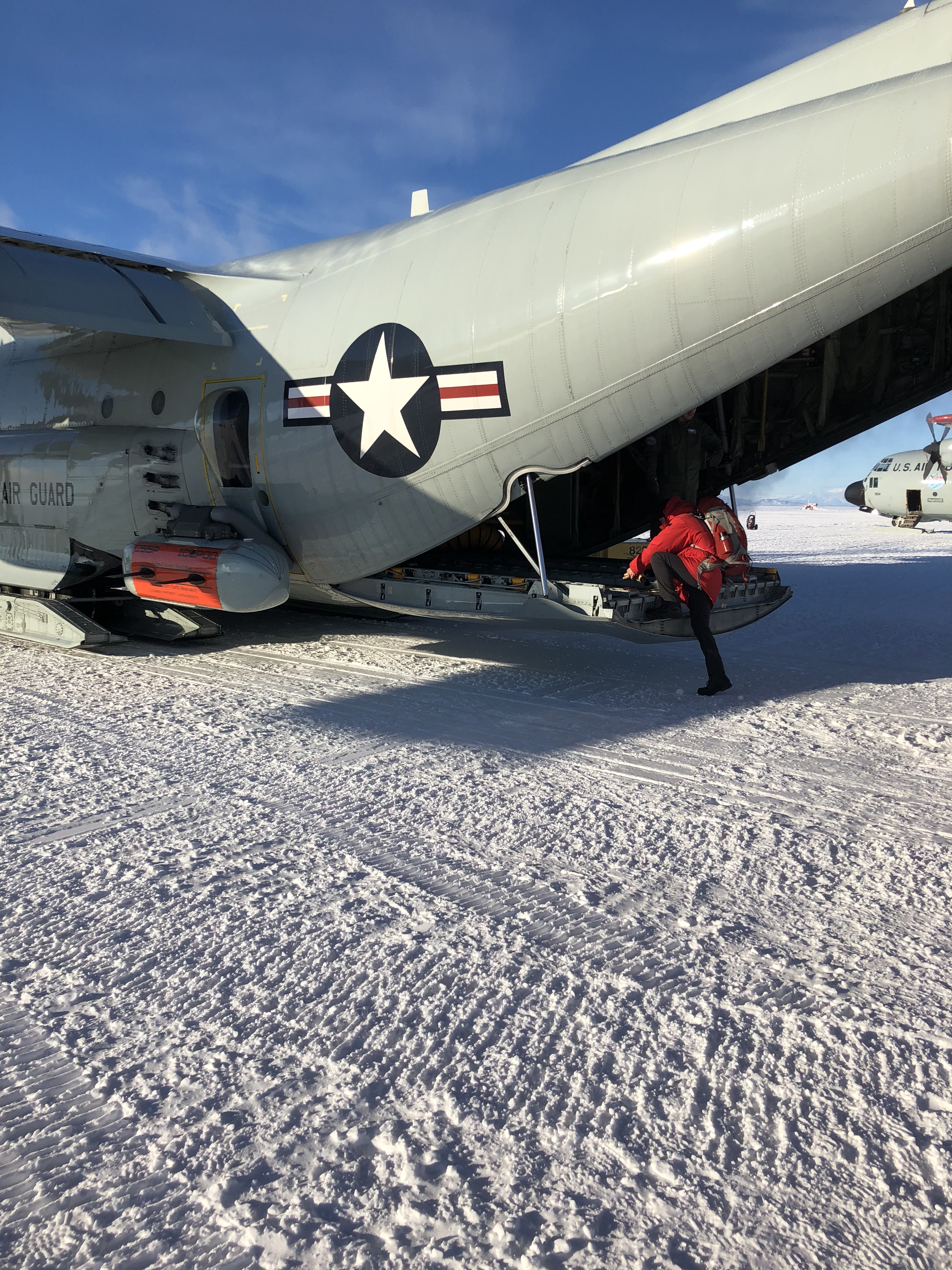
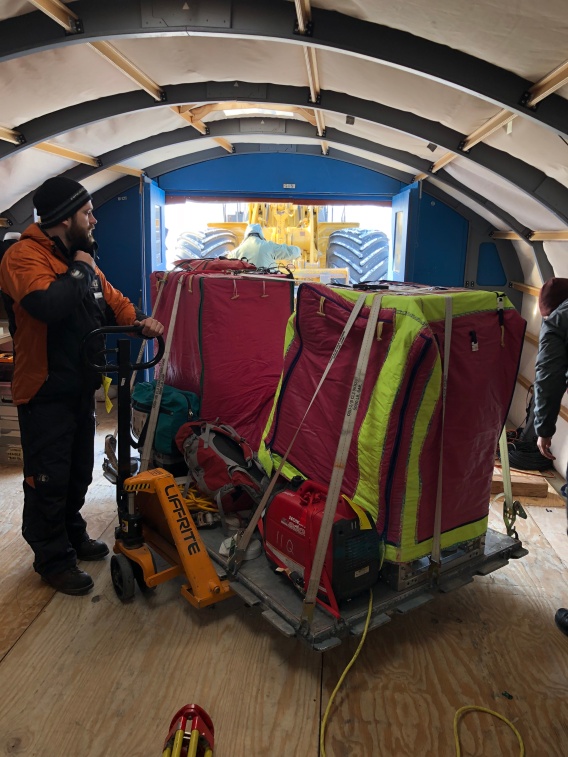
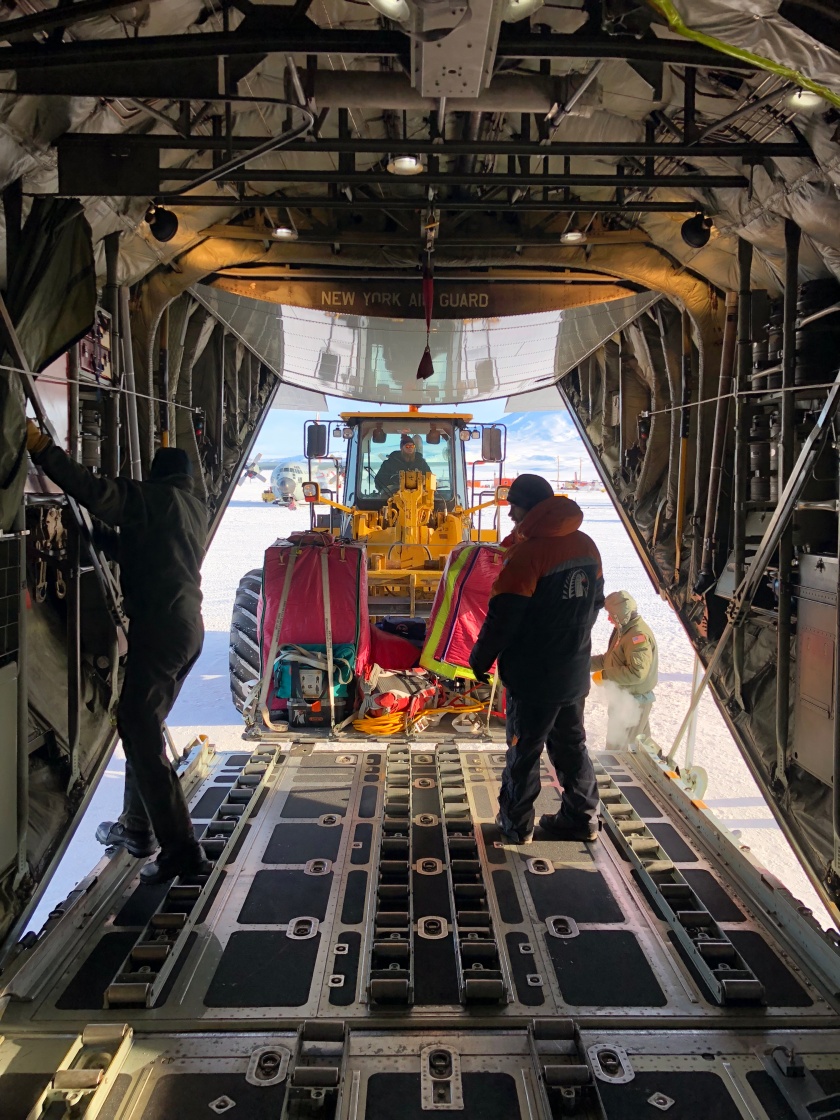
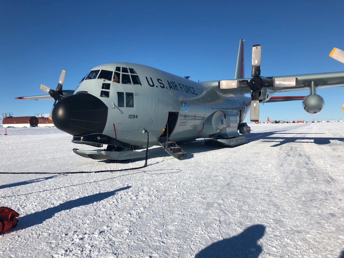
There are many types of C-130s. I am not sure what the “L” stands for, but it means the plane lands on skis. These planes are old (from the 1980s I believe) and mechanical issues are frequent. This season we have been delayed due to problems with the engine, propeller, and rear ski. If maintenance requires at least a whole shift’s worth of work, then the plane is “hard broke”.

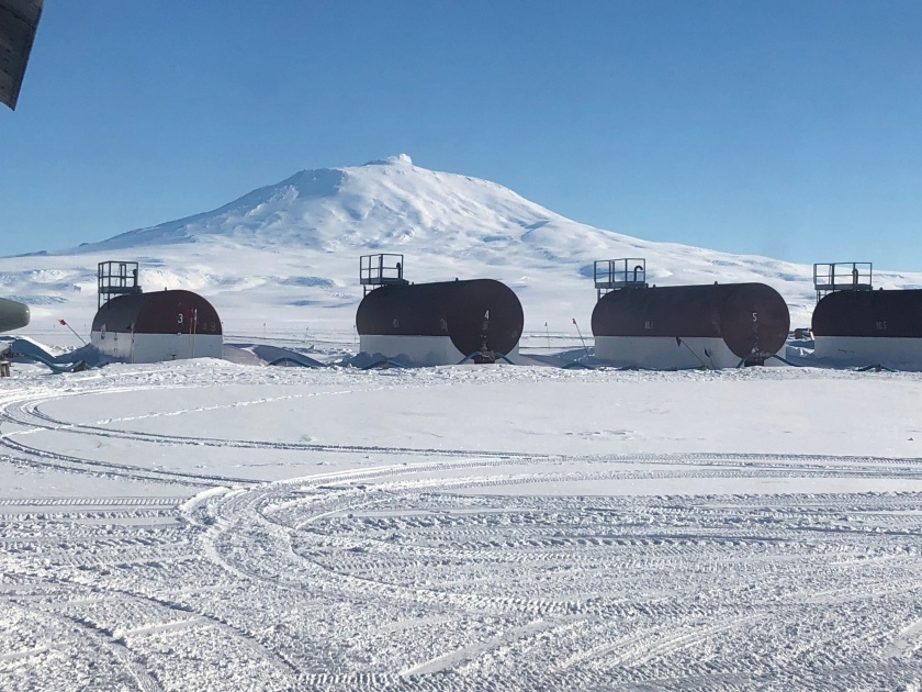
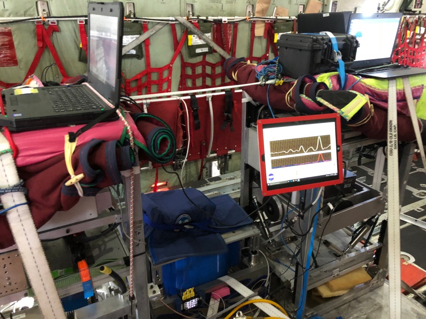
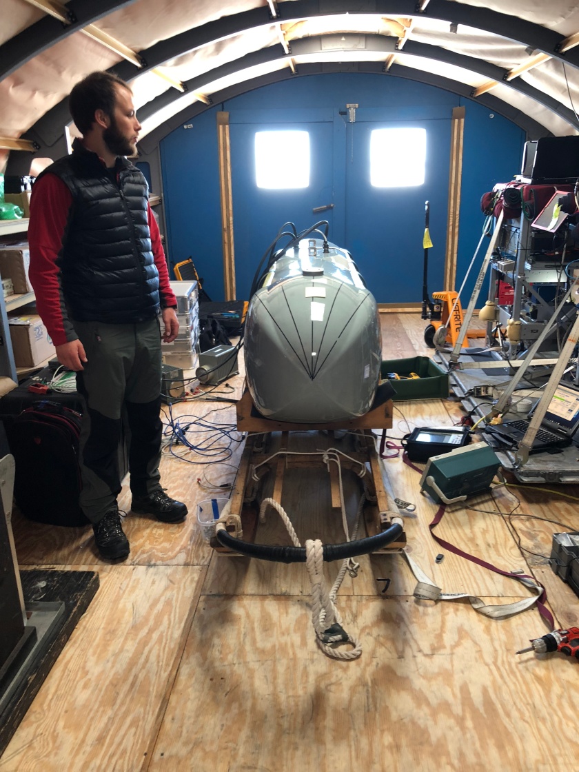
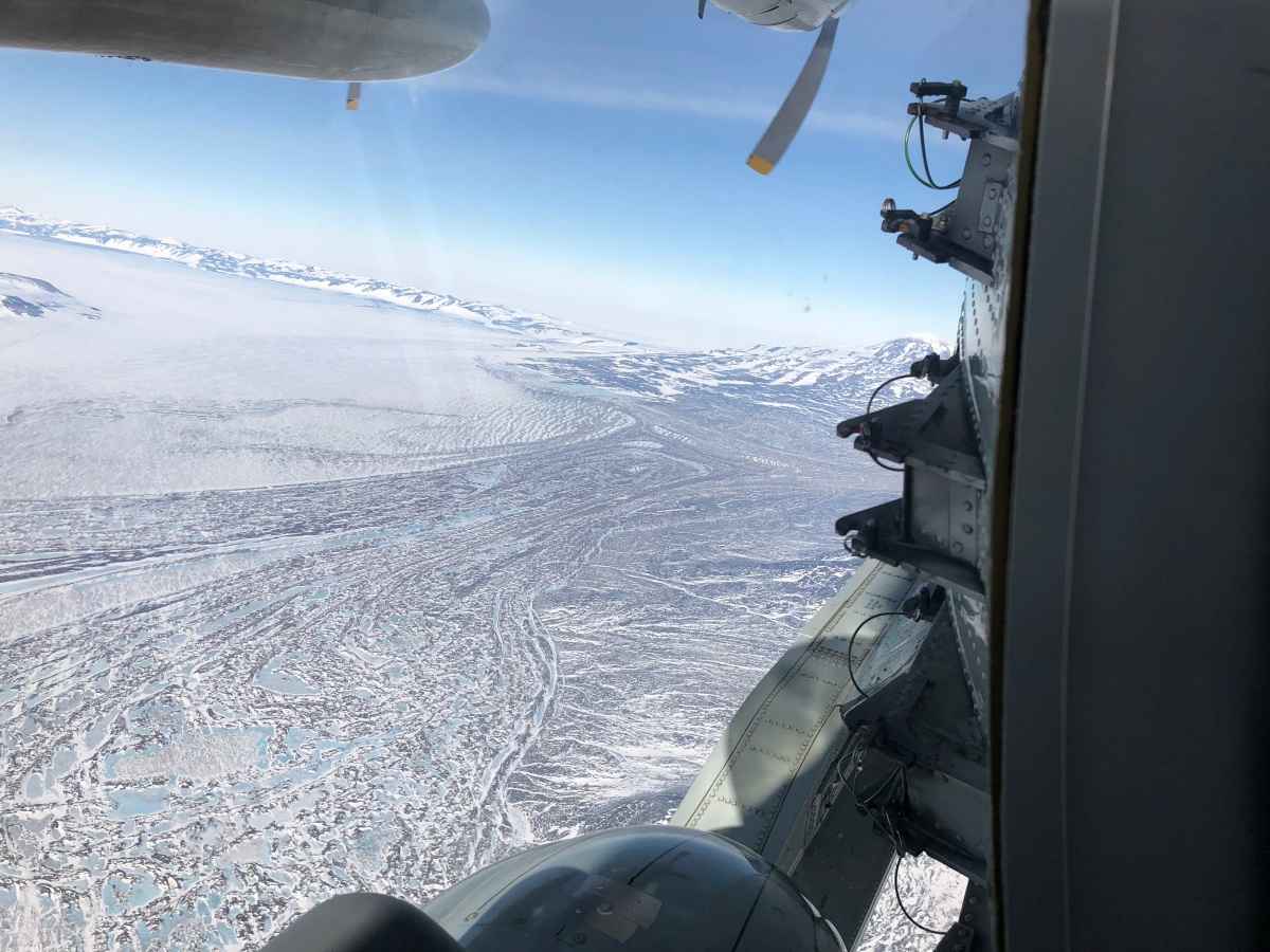
Radar instruments such as CDR (Crevasse Detection Radar)  have been attached to the lever arm of an LC-130 in the past. This is why IcePod was designed with Hercs in mind as our platform. And for the reason that these are the only aircrafts available in McMurdo suitable for our kind of surveying .

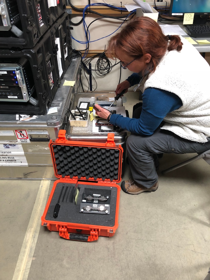
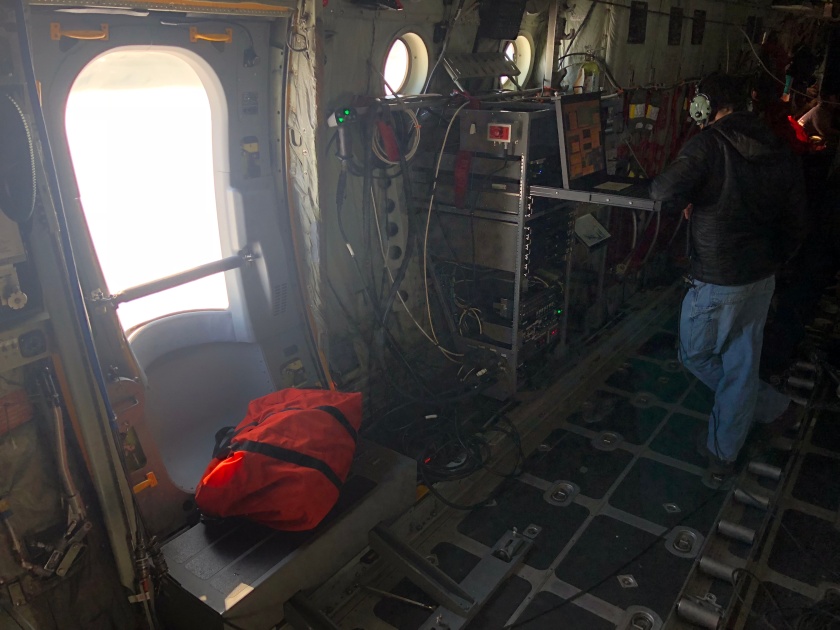
IcePod is equipped with two sets of radar: Deep Ice Radar (DICE) and  Shallow Ice Radar (SIR). DICE can penetrate through ice up to about 4kms and can detect the base of the ice shelf, while SIR provides better resolution, seeing to 400m.  The SIR is a frequency modulated continuous wave system, while the DICE is a pulsed system. The SIR uses different antennas for transmitting and receiving; DICE is a mono-static system (although it does not appear so).

IMG_0266
The black things that sort of look like fins are the DICE antennas.


IMG_0445
After the pod operator (on this flight, Chris Bertinato) turns the DICE on, we usually put an ECW bag in front of the bubble window to remind us not to stick our heads there. Is a little radiation really worth that awesome picture?

Line by line

Expecting to be scheduled only for backup this week with deinstallation Friday night, the ROSETTA team cheered at the dinner table upon news that our flights were in fact scheduled as priority. If all goes well, these nine more flight opportunities are enough to obtain 10km resolution over the whole Shelf! Since Monday morning we have flown three consecutive flights and hopefully the night shift takes off shortly, to make that four.

The previous two flights were lines north of Roosevelt Island. In both flights, cloudy skies forced us to fly above 1800 meters; survey elevation is usually around 950 meters. Today’s flight brought Chris, Grant and I all the way to the southern portion of the Ross Ice Shelf, beyond Crary Ice Rise, where our grid has the least data coverage.

Sure, 7.2 hours is a long time to spend in a plane. But the views are utterly spectacular.

IMG_0483[1]

Sorry, the window is quite dirty.

IMG_0473[1]


To the skies

Take-off was scheduled for 9am rather than 8am, which gave us an extra hour of sleep.  The plane stayed at the fuel pits for an hour and a half longer than expected. There were issues filling up one of the auxiliary tanks.

IMG_0381
Antarctic gas station. Mt. Erebus looms behind.

Thankfully, a member of the Guard aboard let us know,  so we went to the Willy Field galley and refueled ourselves with coffee.

We left the runway closer to 11am, and successfully flew two mid-shelf lines. All were anxious to leave the runway and return to surveying, after more than a week of delays.

IMG_0387
There are five gravimeters here. Can you find them all?

Condition Fun

Finally we are back in condition three.

IMG_0361
Observatory Hill.

The weather conditions are explained below:

weather_con_explained

So this is where we were a couple nights ago.

Screenshot (11)

McMurdo was not in condition one, but two is still pretty intense!

Now all are rested and prepared for a full week of flying.

Just a few pictures of ROSETTA folk passing the time.


A Library in McMurdo

We have had quite an unlucky streak of cancellations. The New York Air National Guard crew who fly the aircraft for day lines departed from the ice for some deserved r & r. Their southbound flight from Christchurch has been delayed a couple times. No Guard, no flight, no surveying. Also, many of our night flights have been delayed due to weather.

With all the down time I have been reading a lot. Most of the books borrowed from home I stowed in Christchurch, but fortunately the library has a wide selection, including one section just on the Antarctic. It is conveniently located on the first floor of my dorm, and run by volunteers. I very much enjoy this space. It is cozy and warm, and gusts of wind against the glass produce the only sounds in the room.

Ob Tube

To start off our Sunday, I went to the Observation Tube (referred to as the Ob Tube) together with Susan, Maya, Isabel, and Martin.

I step awkwardly into the narrow tube, descend a ladder that chills my hands, and sit in a glass box under the sea ice.

IMGP1030.JPG
Tight squeeze alright. No parkas allowed.

It is silent, save the cries of seals.

IMGP0968.JPG
The bottom of the sea ice. 

There are science lectures twice a week in McMurdo, a great opportunity for teams to share what they are doing on the ice. Tonight at the galley, Kirsty and Dave presented wonderfully on ROSETTA-Ice.

IMG_0346
Kirsty Tinto and Dave Porter answer questions.


Thanks for all the superb photos of the Ob Tube, Susan Howard!

So what is ROSETTA-Ice?

You are probably wondering what ROSETTA-Ice is really all about.

ROSETTA-Ice is a current project that is acquiring geophysical data over the Ross Ice Shelf, using an LC-130 aircraft. The Ross Ice Shelf (RIS) is a floating extension of the West Antarctic Ice Sheet that occupies the southern Ross Embayment in West Antarctica. It buttresses ice that flows from West Antarctic ice sheets.

Capture
The map on the left comes from the Polar Geospatial Center; on the right, from MODIS imagery. Inset shows this region with respect to the continent.

The aim of ROSETTA-Ice is to learn more about the interactions between ice, ocean, and underlying rock. The acronym ROSETTA broken down (get ready): A systems approach to understanding the Ross Ocean and ice Shelf Environment and Tectonic setting Through Aerogeophysical surveys and modeling.

We care about the bathymetry beneath the RIS because it controls the circulation of sub-Shelf ocean water that may warm the ice shelf from below. Obviously, this is bad for the stability of the RIS. Obscured by thick ice and water, the bathymetry beneath the RIS cannot be measured directly, and therefore is very poorly known. Depth-sounding data from the 1970’s Ross Ice Shelf Geophysical Glaciological Survey (RIGGS) produced a map at 55 km resolution. 55 kms! ROSETTA-Ice is working towards 10 km resolution. The bathymetry and geology may be constrained by gravity and magnetic data. ROSETTA uses IcePod, a suite of instruments contained in, well, a metal pod, that is attached to the lever arm of the aircraft, to primarily study the ice. ALAMOs (air-launched autonomous micro observers) help us learn more about the ocean, measuring profiles of temperature and salinity.

Most members of the team are from Lamont Doherty Earth Observatory, Earth Institute at Columbia University. Others represent institutions such as Colorado College, Earth and Space Research in Seattle, GNS in New Zealand, Scripps Institute of Oceanography at UC San Diego, and the USGS in Denver. So it is very much a collaborative effort; engineers, geologists, geophysicists, glaciologists, oceanographers and modelers, working together.

ROSETTA_logo

Temporary Deinstall

The IcePod is currently in our RAC tent. Remember when our flight was delayed due to “problems with the second engine”? Well, it’s serious, and we had to deinstall the pod from the lever arm. We’ll reinstall on a different LC-130. Although we lost some flight opportunities, this gave us much needed time to catch up on QC’ing.

IMG_0328
Susan Howard prepares the data discs for archiving. 
IMG_0329
The IcePod awaits maintenance. Martin Wearing for scale. 

Take-off

The IcePod was a little stubborn this morning, the radar taking longer to warm up than we would have liked. Still, we departed the airfield just after 8:30am.

IMG_0297.JPG
Martin Wearing (Columbia University) entering the LC-130 from the hatch. See the IcePod attached to the lever arm.
IMG_0310
The little grey speck is the shadow of the aircraft. How small and insignificant against the sprawling mass of ice!

Another 4am wake-up tomorrow. Time to turn in.

Shakedown Flight

Surveying at last! Well, sort of: Before flying over ‘uncharted’ shelf, we cover ground where there is already QC’ed and processed data (collected previously from NASA Operation IceBridge in 2013, and by ROSETTA in 2015 and 2016) we can compare to, so that we are absolutely sure that instruments are operating properly.

While racing out of the galley this morning to catch the 6am shuttle, Dave Porter (associate research scientist from Columbia University) casually informs us of recent and somewhat alarming news: The UPS (Uninterrupted Power Supply), which feeds power to the meters during transit to the plane, cannot last more than ten minutes; we shall use a small generator – but start it inside, he tells us, as it’s too cold to turn it on outside. With only one cup of coffee this morning at breakfast, I was too decaffeinated to feel nervous as we were loading the gravimeters. Total lie: I was so nervous that one cup was all I needed.

IMG_0253
Grant O’Brien moving the gravity meters outside to the forklift. Notice the generator.


IMG_0254
The meters get transported to the plane. This is when we are all holding our breath.
IMG_0255
Loading the meters through the back door of the LC-130 aircraft.

The loading process went well, but take-off was delayed a few hours due to problems with the second engine. (The details of which I probably could not understand and were not given to us, but, perhaps ambiguity with regards to mechanical issues is best for the psyche). Everyone was giddy when the skis left the runway – we were finally airborne!